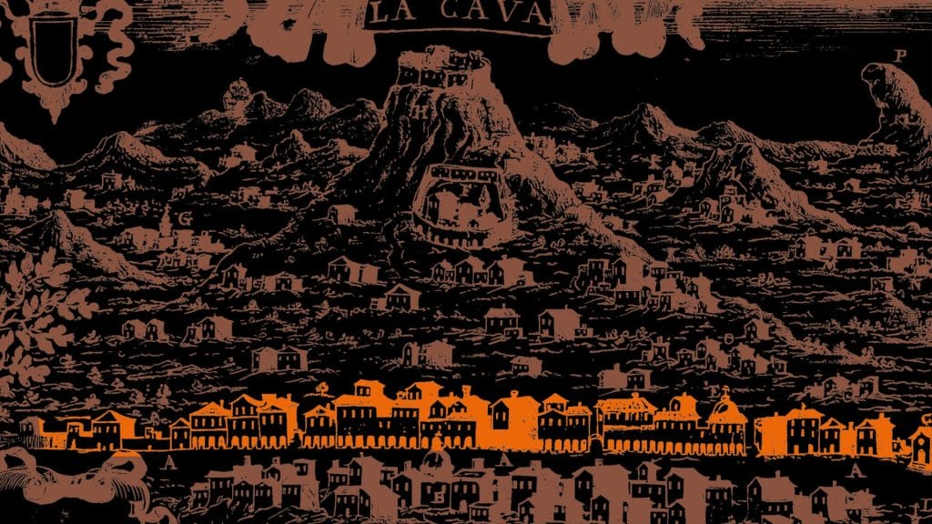

The route starts from Paterno–Sant’Elia, one of the historic centres of Tramonti, and climbs gradually towards the hamlet of Novella along CAI 310, known as the Path of the 13 Churches, crossing villages, chestnut groves and ancient rural architecture. It then passes through the hamlets of Pendolo, Bolviso and Gete.
Past the hamlets of Ponte, Campinola and Trignano, the path enters a more wooded and cooler environment, alternating between shady stretches and panoramic balconies overlooking the valley. The arrival at Casa Lauro marks the junction with the CAI 310B, which leads towards the ridge.
The final stretch follows an ancient connecting route between Nocera and Tramonti, as far as the Valico di Chiunzi, a strategic and panoramic point between the Amalfi Coast and the Nocerian area.

It is a stage characterised by a moderate, gradual and constant elevation gain, on mixed sections of footpath, dirt tracks and tarmac. Towards the end, the climb to the Chiunzi pass becomes more challenging.
It is advisable to wear comfortable shoes, dress in layers, and bring a hat and a spare change of clothes.
Along the first part there are public drinking fountains in the hamlets of Tramonti: bring a water bottle of at least 1 L.
It is recommended to download the route track onto your phone and install one of the main hiking apps.
Church of St John the Baptist in Campinola
Campinola hamlet
Friary of Saint Francis
Church of St. Elijah
Robber's Cave
Ferriera
Church of St Erasmus
Former Conservatory of San Giuseppe and Teresa
Rock Chapel of St Michael at Gete
Church of St Michael the Archangel
Church of Our Lady of the Bridge
Casa Lauro hamlet
Chiunzi Pass
Gete hamlet
Polvica hamlet
Fontana (elevation 271 m)
Ruins of the Church of the Holy Trinity
Fontana (altitude 354 m)