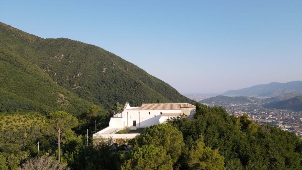

The departure from the Chiunzi Pass (around 650 m) immediately introduces the atmosphere of the route: a pass suspended between two worlds, with the gaze oscillating between the Nocera plain and the sea of Maiori. The first few kilometres follow tracks and mid-slope paths that descend towards the picturesque Hermitage of Santa Maria di Chiunzi, nestled among chestnut groves and sudden views over the valley. The arrival at the sanctuary of Santa Maria dei Miracoli del Monte Albino is one of the most intense moments of the route: the isolated and secluded complex dominates the Cava stream valley from above and looks out towards the sea with an almost monastic sense of suspension.
Continuing to descend, the landscape changes: among oaks and holm oaks, the woodland opens up, the mountain becomes drier and more rocky, and the path takes on a more “airy” character, with ridge sections that recall the historical continuity of the connections between Chiunzi, Montalbino and the system of Cava hermitages. Continuing northwards, the route intercepts the Path of Health, an ancient connecting route that bypasses the base of those mountains, now recovered as a route for walks and nature runs just outside the city.
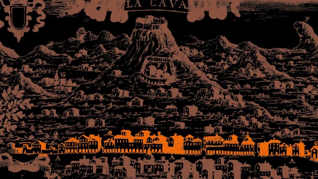
In the section closest to the built-up area of Nocera Superiore, the path turns sharply south, gradually ascending the buttresses of Mount S. Angelo di Cava through a wooded landscape of chestnut and oak trees, with shady, cool stretches that lead up to the slopes of the Hermitage of San Martino, which has recently been restored and is accessible. From here, one quickly reaches the locality of Acqua della Quercia and the sanctuary of S. Maria del Rovo, the end point of the stage.

It is a demanding stage, both due to its fair length and the environments crossed. In the initial section, it is characterised by a moderate, gradual and steady climb, up to the pass (at an altitude of 737 m) from which the long descent begins.
It takes place mostly in a woodland setting, between the mid-mountain and peri-urban plains, and only partly on trails marked by CAI signposting. You proceed along beaten yet poorly classified paths, before regaining some altitude along the Cava de’ Tirreni slope of the Lattari Mountains. The final stretch unfolds in an urban environment.
It is advisable to wear comfortable shoes, dress in layers, and bring a hat and a spare change of clothes (socks, t-shirt).
Along the first part of the route, the availability of water is guaranteed by a few town drinking fountains located in the hamlets of Tramonti. It is advisable to take a water bottle of at least 1L. If you intend to walk several consecutive stages of the path, check the availability of accommodation along the route.
It is recommended to download the route tracks onto your phone and install one of the main hiking apps (OSMand, Locus Map, Komoot, Strava).
Hermitage of San Martino
Hermitage of Santa Maria del Monte Albino
Le Chiancolelle
Trim trail
Turn-off for Hannibal's Caves
Fontana (elevation 303 m)
Fontana (elevation 99 m)