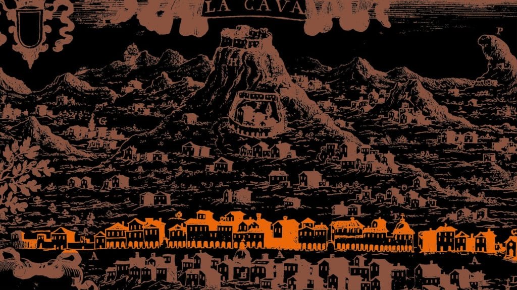

The final stage of the Way constitutes an extension, still partly experimental, which allows the route to be completed while also enjoying the western side of the Lattari Mountains overlooking the Cava de' Tirreni area, along paths that cut through terraced fields, hamlets and rock pinnacles. It consists of two possible variants: a) the mountain sector (eastern side of Monte Finestra) with a possible detour to the S. Maria refuge [N.B. in this sector, the accessibility of a short stretch in the Contrapone area that would allow access to the mountain remains to be confirmed; therefore, this variant is to be considered a work in progress]; b) the predominantly urban sector, with the crossing of the hamlets of Passiano, S. Arcangelo and Pianesi and their fascinating historic centres and church complexes.

This stage is an extension of the path, to be undertaken in one of two possible variants: the first, which is still being finalised in terms of guaranteed accessibility, features a greater elevation change and crosses a mountain environment; the second, which is shorter, passes through a predominantly urban setting.
It is advisable to wear comfortable shoes, dress in layers, and bring a hat and a spare change of clothes (socks, t-shirt).
There are some water sources along the route. It will still be useful to bring a water bottle of at least 2L. If you intend to walk several consecutive stages of the trail, check the availability of accommodation along the route.
It is recommended to download the route tracks onto your phone and install one of the main hiking apps (OSMand, Locus Map, Komoot, Strava).
Rione Pianesi
S. Maria Refuge
Fontana de Li Papi
Church of St. Archangel
Sant'Arcangelo
Church of S. Maria del Rovo
Fontana (altitude 234 m)
Fontana (altitude 257 m)